In-depth gas station site analysis from Kalibrate
Inform your gas station decisions and invest with confidence using dependable location, market, and competitor data.
Why Kalibrate gas station feasibility?
In-depth data from Kalibrate’s fuel site analysis provides gas stations like yours with an understanding of site potential.
Make confident decisions
Using data and robust evidence you can validate your choices and remove the guesswork from expensive investment decisions.
Model mutiple scenarios
Add pumps, car wash, EV charging, change c-store or fuel brand, test which scenarios will deliver the best performance before you commit capital.
Manage cannibalization
Model the impact on existing sites and see how much volume you'll take from your competition to put you network ahead of the competition.
Visitor profiling
Understand lifestyle segments, and home locations for your specific customers to help you create customer centric strategies
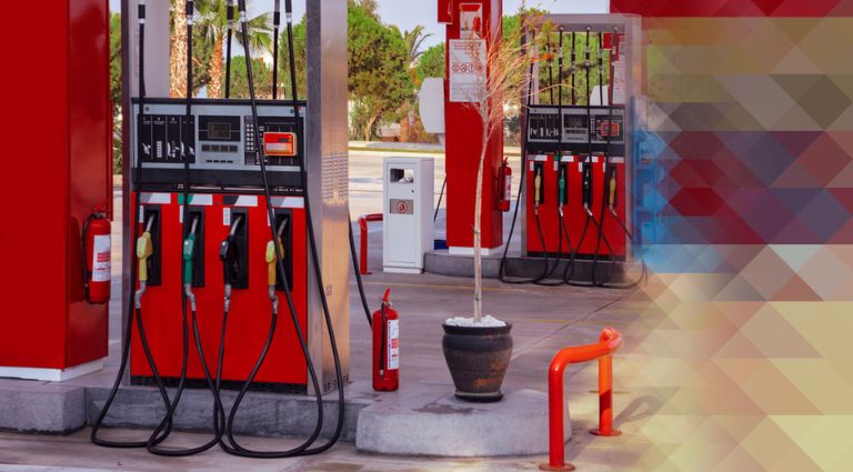
Fuel site analysis key features
Fuel site analysis key features


Reliable fuel volume projections
Kalibrate’s report analyzes every part of your existing or potential gas station and provides robust gasoline and diesel projections
- Identify locations with the most potential
- Test scenarios to find the best forecourt configuration
- Get reliable numbers to help finance discussions
Convenience forecasting and beyond
Forecast c-store sales, and the impact of QSR, car wash, and EV charging to create the most compelling offer for your customers
- Project c-store sales and impact on fuel volumes
- Model adding or changing QSR brand
- See how car wash or EV charging could drive visits
Know who is visiting and why
Get unrivaled insight into visitors to any gas station to increase your understanding of who your customers are.
- View anonymized visitor home locations and lifestyle segments
- Understand where your trade area really is
- See where customers stop before and after visiting your gas station
Trusted by oil majors and lenders
Kalibrate’s analysis is considered the industry standard report to forecast gas station sales potential. Trusted by:
- Lenders
- Oil majors
Ready to learn more?
Speak to the team


What data verification is involved?
Our network planning analysts verify each model output to check all site and situational characteristics are properly incorporated, giving you confidence our forecast is as accurate as possible.
How transparent is the gas station forecasting model?
Kalibrate’s model is fully transparent and inputs and assumptions can be interrogated by any lender or other supplier conducting due diligence.
What modeling approach is used in Kalibrate’s gas station feasibility studies?
Kalibrate’s propriatary fuel and convenience modeling is build on 50+ years helping retailers understand site performance, customer behavior, and competitor impacts.
Do you recommend the type of facility I should build?
Kalibrate’s analysis allows you to run up to four simulation scenarios, outlining what you plan to build, or do, at your site.
We refer to these scenarios as “tactics”. An example of a tactic would be “What if I build a facility with 10 fueling positions, a 3,600 square foot convenience store, open seven days a week, 24 hours daily?”
The result will tell you the volume you can expect if you build the facility as you have outlined. You can run any combination of simulations — for example, varying the number of pumps, size of store, the brand — and the model will forecast volume for those scenarios.
By doing this, you are able to see, for example, the size of store or number of dispensers, that will work best, so you don’t overbuild or under build for the area.
Our experienced analysts can help explain the data within the report to ensure you understand the insight — but ultimately the decisions are yours to make.
How much does a fuel site analysis cost?
Costing depend on the number of scenarios modeled and whether we have existing site data within the subject market. Sometimes we have recently surveyed a geography, which means the cost of field analysis is reduced. Speak to our team to learn more.
Additional resources
Explore more best practices and decision making guidance on the Kalibrate blog.